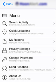
The aim of this application is to empower user to Report Hoon Drivers using Google map integration. The data collected by users will be stored in a database and all users who download the app and sign-up will have access to this data for their use. The app integrated with Google maps and GPS technology to identify a location on a map by all registered application users and have a display which is real time selected by options of time increments.
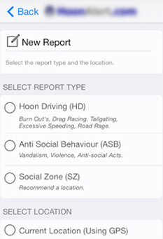
A phone and tablet application which combines mapping technology and ordinary people to collectively track and report hoon drivers. The App was designed to help reduce the pain suffered by all as a result of serial hoon driving, speeding, burnouts and general Anti Social Behaviour activity. With just a few simple clicks and the convenience of being in the palm of your hand, you can report Hoon Driving, Anti Social Behaviour and Social Zones (where Hoons are not). A powerful search feature is available which allows users to zero in on a time of the day over a range of dates, so you can search activities recorded by all users – users from all parts of the world.
This application does not publicly list hoon details submitted and does not presume guilt. Through other users provides evidence of Hoon activity hotspots of the serial hoon driver. Recording this information as a group creates a compelling case you can use to show Police that you need help in your area.
Report hoon driving & speeding drivers
Mobile App
App Screenshots


Key Features
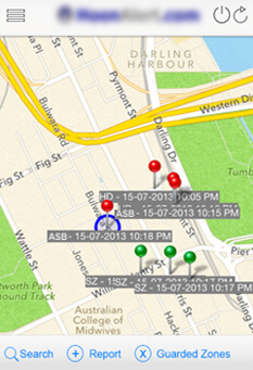
- Display recently reported hoons on the map, indicating the hoon type with a time stamp to show when the hoon had occurred. Map refreshes after every 2 miles while on the go to display live results using GPS tracking.
- User can pick a hoon location on the map with a simple touch (drag, drop, pinch and swipe) and provide additional information about the hoon they encountered by attaching an image from the photo gallery or capturing live images.
- Distinguish the hoon effected regions from safe zones using advance mapping technology.
